

Sale!


Spatial Vision Mount Buffalo Map
Original price was: $4.99.$3.49Current price is: $3.49.
- Excellent customer service online in a timely manner
- We take quality seriously.
- Free Shipping Worldwide
- Protect Your Wallet with Safe Payments

Product Info
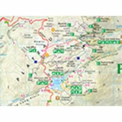
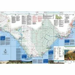
The Spatial Vision Mount Buffalo Map covers the Mt Buffalo National Park, Lyrebird Plain, Myrtleford, Porepunkah and Lake Buffalo. It provides detailed maps for walking and touring in the area and is ideal for bushwalking, cross country skiing, mountain biking and car touring.
Features
- Map of the Mt Buffalo National Park
- Provides information and detailed maps for walking and touring throughout the National Park
- Includes Murray to the Mountains Rail Trail touring guide
- Walk cross-sections
- Detailed walk descriptions
- Cross country ski trails
Be the first to review “Spatial Vision Mount Buffalo Map”
Related products
Sale!

Original price was: $34.99.$24.49Current price is: $24.49.
Sale!
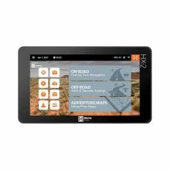
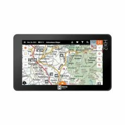
Navigation
Original price was: $383.00.$99.99Current price is: $99.99.
Sale!
Original price was: $54.99.$38.49Current price is: $38.49.
Sale!

Original price was: $49.99.$34.99Current price is: $34.99.
Sale!

Navigation
Original price was: $4.99.$3.49Current price is: $3.49.
Sale!

Original price was: $4.99.$3.49Current price is: $3.49.
Sale!

Original price was: $9.99.$6.99Current price is: $6.99.
Sale!

Navigation
Original price was: $14.99.$10.49Current price is: $10.49.
Reviews
There are no reviews yet.